There’s a single road that leads out to the salt-dome hill known as Avery Island, 140 miles west of New Orleans and just a few miles inland from an oblong bay that leads to the Gulf of Mexico.
The 2,200-acre “island” is, in fact, an elevated landmass, formed by a salt dome pushed up by the earth and surrounded by marshland. It is home to an array of wildlife and vegetation: more than 20 species of bamboo, oak, crepe myrtle, azalea, and egret, among others.
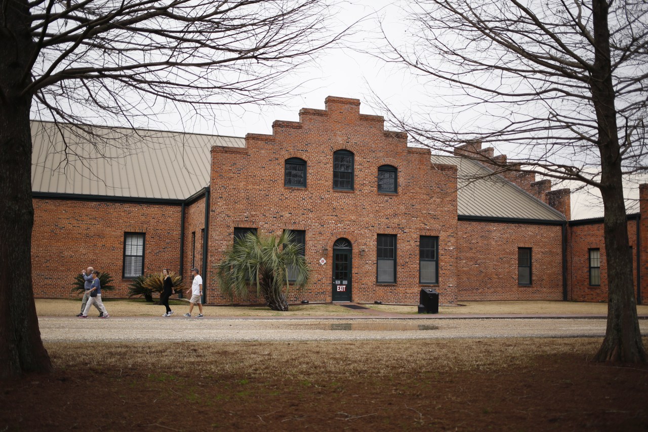
It’s also the epicenter of an iconic American hot sauce empire. The McIlhenny family has been making Tabasco sauce since 1868, slow-cooking and fermenting hot peppers in towering white-oak barrels that are sealed with salt mined from the island.
Before getting into the condiment business, Edmund McIlhenny was a banker living in New Orleans. The McIlhenny Company historian, Shane Bernard, says that when Union troops occupied the city during the Civil War, McIlhenny fled with his wife to her family’s sugar plantation on Avery Island. It was there, on the land formerly known as Petite Anse Island (Little Cove Island), that McIlhenny produced his first crop of red tabasco peppers and, soon after, the hot sauce.

Although no one is sure whether McIlhenny planted the original pepper seeds during or shortly after the war, his determination to transform the peppers into a thriving business stemmed from a need to support himself and his family during Reconstruction, according to Bernard.
McIlhenny’s son, Edward Avery, took over the business in 1898, but he did more than just focus on the hot sauce. A naturalist and ornithologist, Edward sought to preserve the ecology of the land. He established a wildlife refuge on the island, which helped to save the snowy egret from extinction and which Teddy Roosevelt called “the most noteworthy reserve in the country.” He also established Jungle Gardens, a 170-acre botanical garden that opened to the public in 1935.
Today, Edmund McIlhenny’s great-great-grandson, Tony Simmons, runs the company. He credits the land for giving the Tabasco brand its longevity. The company celebrated its 150-year anniversary this spring.
“If it was made in a factory in the middle of a random city, would we still be here five generations later?” Simmons asks. “My family is very connected to this island. The connection helps reinforce the family business.”
Thanks to some savvy legal work in the early 20th century, family members are not allowed to sell shares of the land, which attracts nearly 100,000 tourists each year, according to Simmons.
But there’s one threat to the business that even the sharpest lawyers can’t fix. The coastal land around Avery Island is disappearing as surrounding water levels rise, according to a 2017 study by the U.S. Geological Survey. The report observes that the island is losing about 30 feet of its surrounding marshland a year. Saltwater is seeping into the marsh, dissolving soil and killing freshwater plants.
“Louisiana is losing land at an alarming rate,” says Barry Keim, a geographer at Louisiana State University who specializes in climate change. “Avery Island could literally be an island if sea levels continue to rise.”
According to Keim, the combination of land loss and sea-level rise makes southeastern Louisiana the most vulnerable place in the nation, if not the world, when it comes to climate change.
For a region built on the value of oil and gas, agriculture, and the seafood industries, this vulnerability threatens not only citizens’ homes, but also their livelihoods. Although Simmons says the McIlhenny Company now grows most of its pepper crop elsewhere—starting in the 1960s the company began sourcing peppers from farms in Mexico and elsewhere in Latin America—the seeds for the plants and the hot sauce factory itself remain bound to the Louisiana soil. Avery Island, once considered a safe haven, is now a microcosm of a broader crisis affecting the more than 2 million people (PDF) who live in coastal Louisiana.


Keim says that, worse yet, the projections for sea-level rise seem to be accelerating at the same time that forecasts suggest cities along the Gulf Coast will see more powerful hurricanes.
“We’re losing wetlands, so we’re losing our buffer,” Keim says. “It makes us more vulnerable.”
Simmons got a glimpse of this impending reality when Hurricane Rita hit and nearly flooded the Tabasco factory in 2005. “There is a threat from subsidence and rising water,” Simmons concedes. “But we don’t see that as a threat in the next 25 to 50 years.”
Simmons says the company is working with state agencies on a program to plant smooth cordgrass in the marsh to slow down sediment spread. The company is also building a small dam in the marsh to keep saltwater out. All of these efforts are focused on slowing down erosion, buying the business more time.
Despite the environmental concerns, the family has no interest in selling or moving the hot sauce company.
“And as long as my family owns the company,” says Simmons, “we want it here.”